Ah, the great outdoors! Where nature greets you with open arms—and possibly a swarm of mosquitoes. If you’ve ever found yourself in the middle of nowhere, staring at a map upside down while your compass spins like it’s auditioning for a dance competition, then this article is for you.
Today, we’re going to tackle the art of navigation using good old-fashioned maps and compasses. So, grab your gear (and maybe some bug spray), and let’s get started!
The Basics of Maps: More Than Just Pretty Pictures

By the way, have you ever looked at a map and thought it resembled a treasure map from a pirate movie? “X” marks the spot where my car is parked—if I can find it after this hike! Maps are essential tools that help us understand our surroundings. But before you start daydreaming about hidden gold, let’s break down what makes up a good map.
First off, every map has symbols that represent different features—like trees, rivers, or even that suspicious-looking rock formation that resembles Elvis Presley. Understanding these symbols is crucial because they guide you through unfamiliar terrain without having to rely on questionable directions from random strangers.
Next comes scale. No, not the kind you step on to check if last night’s pizza was worth it (it definitely was). A map’s scale helps you measure distances accurately.
For example, if one inch equals one mile on your map and you’re trying to figure out how far away that “elusive coffee shop” is—trust me; you’ll want to know this before hiking five miles only to discover it closed last week!
Getting Acquainted with Your Compass
Let’s see…a compass! It might look like something your grandpa used during his fishing trips—but trust me; it’s way more useful than just being an antique conversation starter at family gatherings.
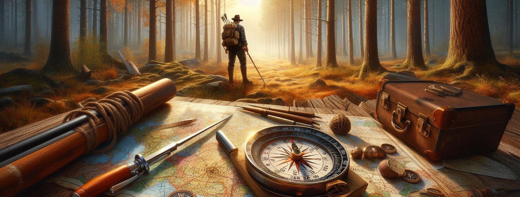
A compass has four main parts: the baseplate (the flat part), the needle (the thing that spins around like it’s lost), the housing (the circular part containing markings), and finally—the direction of travel arrow (that little arrow pointing towards adventure!).
Now here’s where things get interesting: when using a compass in conjunction with a map, you’ll feel like Indiana Jones minus the boulder chasing after you.
To orient your compass with your map, lay both flat on a surface (preferably not under an angry bear). Align the north-south lines on your map with the magnetic needle of your compass so they match up. Voilà!
You now know which way is north—and hopefully won’t end up walking in circles until someone finds you days later wearing nothing but leaves!
Plotting Your Course: The Art of Navigation
All things considered, once you’ve got your bearings straightened out—it’s time to plot your course! This involves determining where you want to go and how best to get there without stumbling into any quicksand or awkward encounters with overly friendly wildlife.
Start by identifying key landmarks along your route—these could be anything from mountain peaks to giant rocks shaped like famous celebrities (yes, I’m still talking about Elvis). Mark them on your map so you’ll have reference points as you navigate through nature’s playground.
Now comes measuring distance again—remember that scale we talked about? Use it wisely! Once you’ve plotted out major turns or changes in elevation along your path, calculate how long each leg will take based on average walking speed. Spoiler alert: if you’re stopping every few minutes for snacks or selfies with squirrels—you may need extra time added onto those estimates!
Reading Topographic Maps Like A Pro
Speaking of maps…topographic maps are like regular maps but have fancy squiggly lines indicating elevation changes—kind of like Mother Nature’s version of roller coasters! These lines show hills and valleys so well that even someone who flunked geometry can appreciate their usefulness.
Understanding contour lines helps prevent unnecessary huffing and puffing while climbing steep terrains—or worse yet—accidentally sliding down slopes covered in mud because “it looked easier.”
When contour lines are close together? That means steep climbs ahead! Conversely, wide spaces indicate flatter ground—a perfect place for lunch breaks featuring sandwiches made by talented raccoons…or just yourself if you’re lucky enough.
Practice Makes Perfect: Get Out There!
Interestingly enough, no amount of reading can prepare you better than actual practice. Find local parks or wilderness areas where navigating isn’t life-threatening but still offers opportunities for adventure (and hopefully fewer mosquitoes).
Try plotting short routes using both maps and compasses before tackling longer hikes alone. Take note when mistakes happen—it’s all part of learning! And remember—the first rule about getting lost is: don’t panic unless there are bears involved; then panicking may be justified.
Once you’ve mastered basic navigation skills? You’ll find yourself confidently striding through forests while others fumble around looking helplessly at their phones hoping GPS will save them—all while secretly wishing they had paid attention in geography class instead!
Suggested Resources:
Outdoor Survival Skills
https://www.outdoorsurvivalskills.com
How To Read a Map
https://www.howtoreadamap.com
Compass Basics
https://www.compassbasics.com
Topographic Map Reading
https://www.topomapreading.com


