Top Takeaways and Key Concepts
- Learn basic map skills by understanding symbols and map scale to avoid wrong routes.
- Use a compass correctly by aligning it with map north to stay on course.
- Plan routes ahead using landmarks and distance estimates to navigate confidently.
- Read contour lines to choose safer, easier terrain and avoid steep climbs.
- Practice navigation often in safe areas to build confidence and accuracy.
Summary of This Article
This article emphasizes the importance of learning basic navigation skills to explore the outdoors safely and confidently. It explains how to use maps and compasses together, interpret map symbols and scale, and plan routes using landmarks and distance estimates. The article also covers reading topographic contour lines to understand terrain and avoid unnecessary effort. Finally, it encourages regular practice in low-risk areas to build skill and confidence before tackling more challenging environments.
Short Video Version of this Article
Ah, the great outdoors! So beautiful, right? Nature wraps you in fresh air and pretty views. But, there’s a catch. Those pesky mosquitoes think they’re invited too. Not exactly the best dance partners!
Ever been lost in the woods, staring at a map like it’s a puzzle piece you can’t fit? It can be super frustrating. The compass doesn’t help when it’s spinning like it’s in a dance competition. Trust me, you’re not alone if this has happened. It can be a bit wild out there.
Let’s talk navigation. Good old maps and compasses are like your trusty friends. They don’t need a charge. Just some knowledge and a little practice. Maps show you where to go, and compasses help point you in the right direction. Easy, right?
Before you head out, make sure to check your gear. A compass that works? Check. A map that’s been updated? Double-check. And hey, some bug spray? Definitely check that too! You’ll want to enjoy the views without constantly swatting away bugs.
Once you’ve got everything, spread out your map. Look at where you are. Find the landmarks. Trees, rivers, maybe even that funny rock shaped like a potato. They help you figure out where to go next. It’s like a treasure hunt!
With the compass, hold it flat in your hand. Turn your body until the needle points north. Simple, right? From there, you can figure out which way to walk. Just remember, take your time. It’s all about enjoying the adventure.
You’re going to do great out there. Just keep exploring, make some memories, and maybe even find a new favorite spot. Adventure calls!
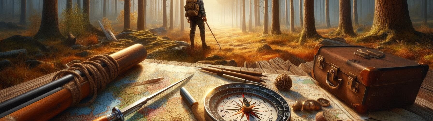
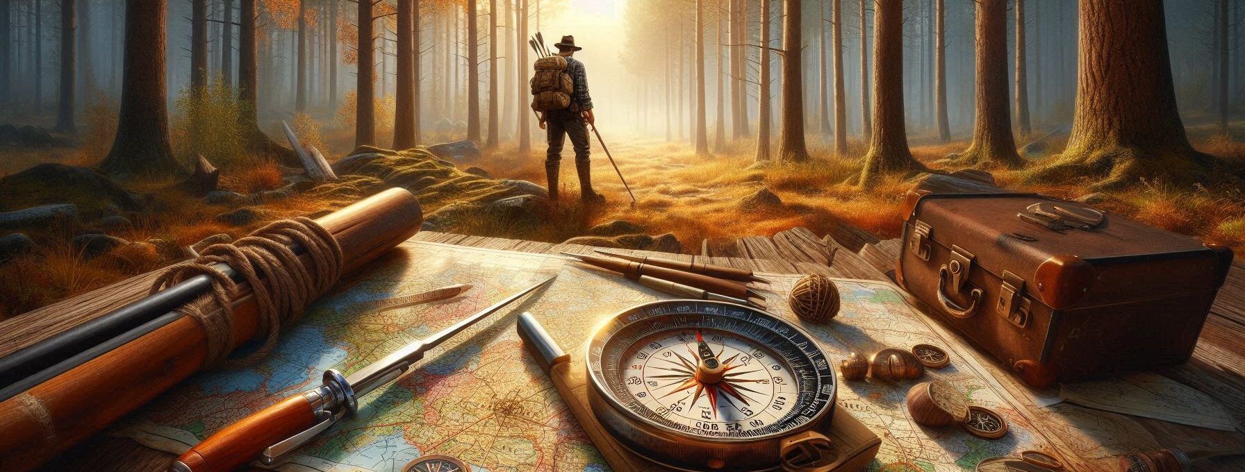
The Basics of Maps: More Than Just Pretty Pictures
Have you ever glanced at a map and thought it looked like a pirate movie treasure map? If I can find my car after this hike, “X” shows where it is parked. Maps are important tools that help us figure out where we are. But before you start imagining treasure, let’s talk about what constitutes a good map.
Every map has symbols that stand for different things, like trees, rivers, or even that weird rock formation that looks like Elvis Presley. It’s important to know what these symbols mean since they will help you find your way around new areas without having to rely on guidance from people you don’t know.
Next is the scale. Not the kind you step on to find out if last night’s pizza was worth it, though we both know it was. This scale is for maps, and it tells you how far away objects really are.
Look at it this way. That small measurement means a lot if one inch on your map represents one mile. Picture yourself on a quest to find that “hard-to-find coffee shop.” You take out your map and get excited. But if you don’t verify the scale, you could end up walking five miles only to find out that the store closed last week. Ugh, right? What a bummer!
It’s quite helpful to know the scale, especially when you’re going to unfamiliar places. You don’t want to walk for a long time and then have to turn around empty-handed. So, just take a moment. Get the right amount. Is that nice overlook truly just a short hop away? Or do you need a heavier food for a long walk?
As you arrange your journey, keep an eye on the scale. That way, you’ll be ready to succeed. You’ll feel like a map expert, ready to take on anything. And who knows? You might even get to the coffee shop after all!
There is an adventure waiting for you, but first, let’s make sure you take the right road.
Getting Acquainted with Your Compass
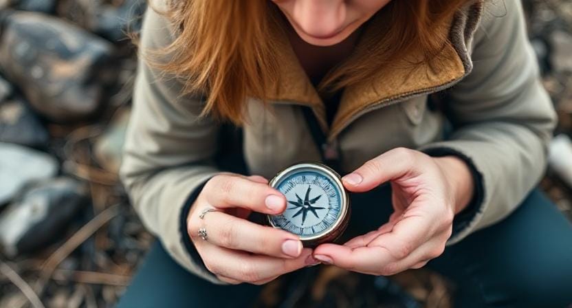
Let’s see…a compass! It might look like something your grandpa used during his fishing trips—but trust me; it’s way more useful than just being an antique conversation starter at family gatherings.
A compass has four main parts: the baseplate (the flat part), the needle (the thing that spins around like it’s lost), the housing (the circular part containing markings), and finally—the direction of travel arrow (that little arrow pointing towards adventure!).
Now here’s where things get fun. Using a compass with your map is like being Indiana Jones, but without the boulder chasing you. Phew, right?
First, find a nice spot to work—hopefully not under an angry bear. Lay your map flat. Then, grab your compass. This part is pretty cool. You want to take the north-south lines on your map and match them up with the little needle in your compass. When they line up, it’s like magic! You’re on your way!
And just like that, you know which way is north. So, no more wandering in circles. No one wants to be stuck out there with nothing but leaves for company, right? Imagine someone hiking by and finding you days later with a leaf hat. Yikes!
When you’ve got your direction down, you can start your adventure with confidence. Maybe you’ll stumble upon that cool waterfall or find a perfect picnic spot. Remember, maps and compasses are your buddies out there. They’re like a treasure map but way less dramatic.
So go ahead, trust your compass and enjoy the great outdoors. There’s a big world waiting for you, and you’re ready for it. Happy adventuring!
Plotting Your Course: The Art of Navigation

Once you’ve figured out where you are, it’s time to plan your route! This means figuring out where you want to go and the best way to get there without getting stuck in quicksand or having weird run-ins with too friendly animals.
To begin, make a list of important places along your path. These might be anything from mountain tops to huge rocks that look like famous people (yeah, I’m still talking about Elvis). Put a mark on your map so you can find your way around nature’s playground.
All right, let’s go into further detail on how to measure distance. Do you remember the scale we talked about? Yes, it’s quite useful!
After you’ve indicated your significant turns or any hills on your map, use that scale to figure out how far you’ll be walking. You may see how many inches your trip takes up if one inch equals one mile. Easy, right?
But this is where it becomes real. You need to figure out how long each part will take. Most people walk at a speed of roughly 3 miles per hour. That seems good, right? But hold on for a second. It can take longer if you, like me, stop every few minutes to eat or take cute pictures with squirrels. Those little fellows really know how to get attention!
Take a moment to think about it. If you take a break to stretch or eat a granola bar (yum!), add some time. You might even want to take a deep breath and enjoy the scenery. After all, nature is very wonderful.
So, when you organize your day, don’t forget to include those short breaks. You don’t want to rush through your experience; you want to enjoy it. Have fun exploring, and don’t forget about your snack stash!
Reading Topographic Maps Like A Pro

Speaking of maps…topographic maps are like regular maps but have fancy squiggly lines indicating elevation changes—kind of like Mother Nature’s version of roller coasters! These lines show hills and valleys so well that even someone who flunked geometry can appreciate their usefulness.
Understanding contour lines helps prevent unnecessary huffing and puffing while climbing steep terrains—or worse yet—accidentally sliding down slopes covered in mud because “it looked easier.”
Oh, contour lines on a map! They’re like the lines telling stories about the land. When those lines are squished close together, get ready for steep climbs. Seriously, your legs are gonna feel it. It’s like climbing the world’s tallest slide.
But when those lines are spread apart? Jackpot! That means you’re walking on flatter ground. Perfect for lunch breaks. Imagine laying out your sandwich, maybe with some chips. And if raccoons show up, well, they’re crafty little critters. I mean, they probably make a mean peanut butter and jelly, right? Just kidding! But hey, if you’d packed extra snacks, who knows?
Watch for those lines. They keep you on track. Climbing is fun, but a nice flat spot makes for a good resting place. Stretch your legs, enjoy that sandwich, and soak in the scenery. Nature’s like a friend, waiting to surprise you with its beauty.
Just be careful with your snacks. You don’t want to share with any bold raccoons! Enjoy your adventure and those yummy breaks. It’s all about the journey.
Practice Makes Perfect: Get Out There!
Oh, you know what? Nothing beats actually going out there and practicing. Reading about navigation is great, but it’s like trying to learn swimming by just watching videos. You really gotta feel the water, right?
Look for local parks or wilderness spots. It’s way more fun when it’s not scary. Plus, fewer mosquitoes means you can actually enjoy your adventure. Nature’s pretty cool, but those little buzzing guys? Not so much.
Start with short routes. Grab your map and compass, and go for it! Mistakes? They’ll happen. Totally normal. You might go the wrong way or take a funny detour. It’s okay, though. You learn from it all.
If you ever get a little lost, just remember: don’t panic! Unless there’s a bear, then you can freak out a bit. 😅 Bears can be scary.
Once you get the hang of it, you’ll be walking confidently through forests. It’s a great feeling. While others are looking at their phones, you’ll be like, “What’s up, woods?” Trust me, it’s way better than fumbling around hoping for GPS to save the day.
And hey, those who didn’t pay attention in geography? Well, they might be wishing they had! Enjoy your practice runs. Every step is a new adventure.
Learning basic navigation skills like reading maps, using a compass, and recognizing landmarks helps you stay safe and confident outdoors. With practice, you can plan smart routes, avoid dangerous terrain, and explore nature without getting lost, even when GPS or phone signals fail.
Frequently Asked Questions
Why are navigation skills important for outdoor adventures?
Navigation skills help you travel safely without relying on technology. They allow you to plan routes, avoid hazards, and find your way back if you get disoriented in unfamiliar terrain.
What is the first step to reading a map correctly?
The first step is understanding map symbols and the scale. These show real-world distances and features like rivers, trails, and elevation changes.
How do I properly use a compass with a map?
Align the map’s north with the compass needle, then use the direction of travel arrow to follow your route. This keeps you oriented and prevents walking in circles.
What are contour lines and why do they matter?
Contour lines show elevation on a topographic map. Close lines mean steep terrain, while wider lines indicate flatter areas, helping you choose safer paths.
How can landmarks help with navigation?
Landmarks like rivers, hills, or unique rock formations confirm your position and guide your direction when navigating through wilderness areas.
What should I check before starting a navigation route?
Always review your compass, updated map, weather conditions, and a planned route. Double-check your gear so you’re prepared for any detours or challenges.
How can I improve my navigation skills?
Practice regularly on short, safe routes before tackling remote areas. Repetition builds confidence and sharpens your ability to read maps and follow bearings accurately.
Suggested Resources:
Outdoor Survival Skills
https://www.outdoorsurvivalskills.com
How To Read a Map
https://www.howtoreadamap.com
Compass Basics
https://www.compassbasics.com
Topographic Map Reading
https://www.topomapreading.com

Kevin Collier is a seasoned outdoor enthusiast and writer for Trekbug.com, specializing in outdoor adventures, survival strategies, and prepping insights. With a deep love for nature and a commitment to self-sufficiency, Kevin empowers readers to embrace the wilderness confidently. He shares valuable tips, practical techniques, and inspiring stories, helping both novice and experienced adventurers develop essential skills for surviving and thriving in the great outdoors.

